Case studies / Design overlay, Florida
Civil design overlays and fill-to-grade takeoff on a Florida commercial development
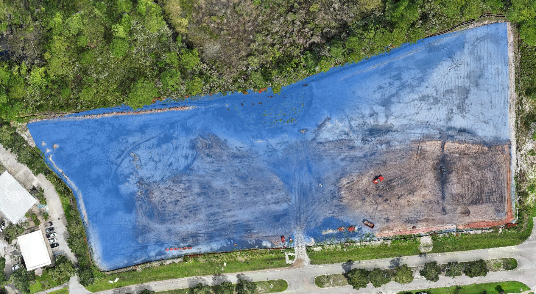
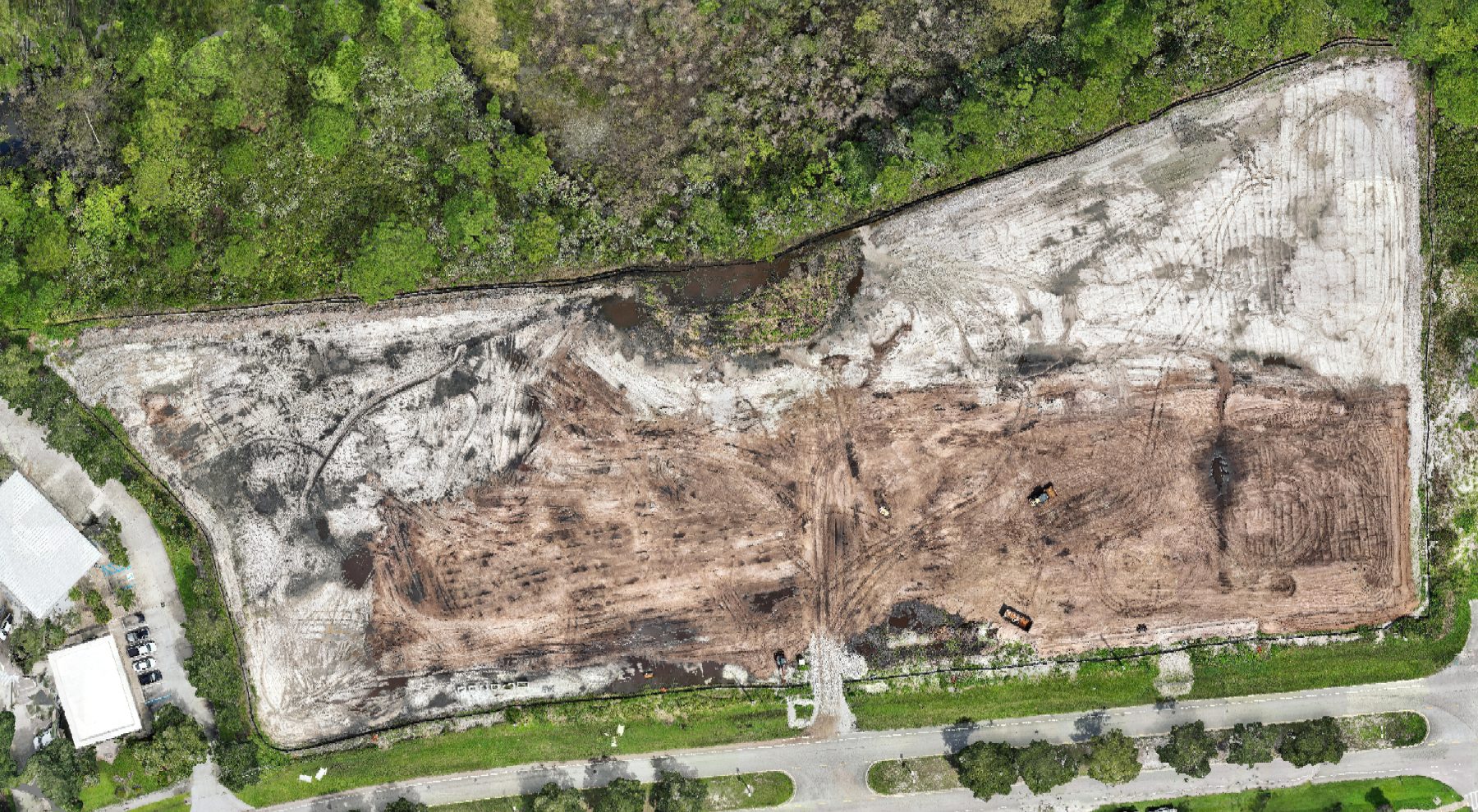
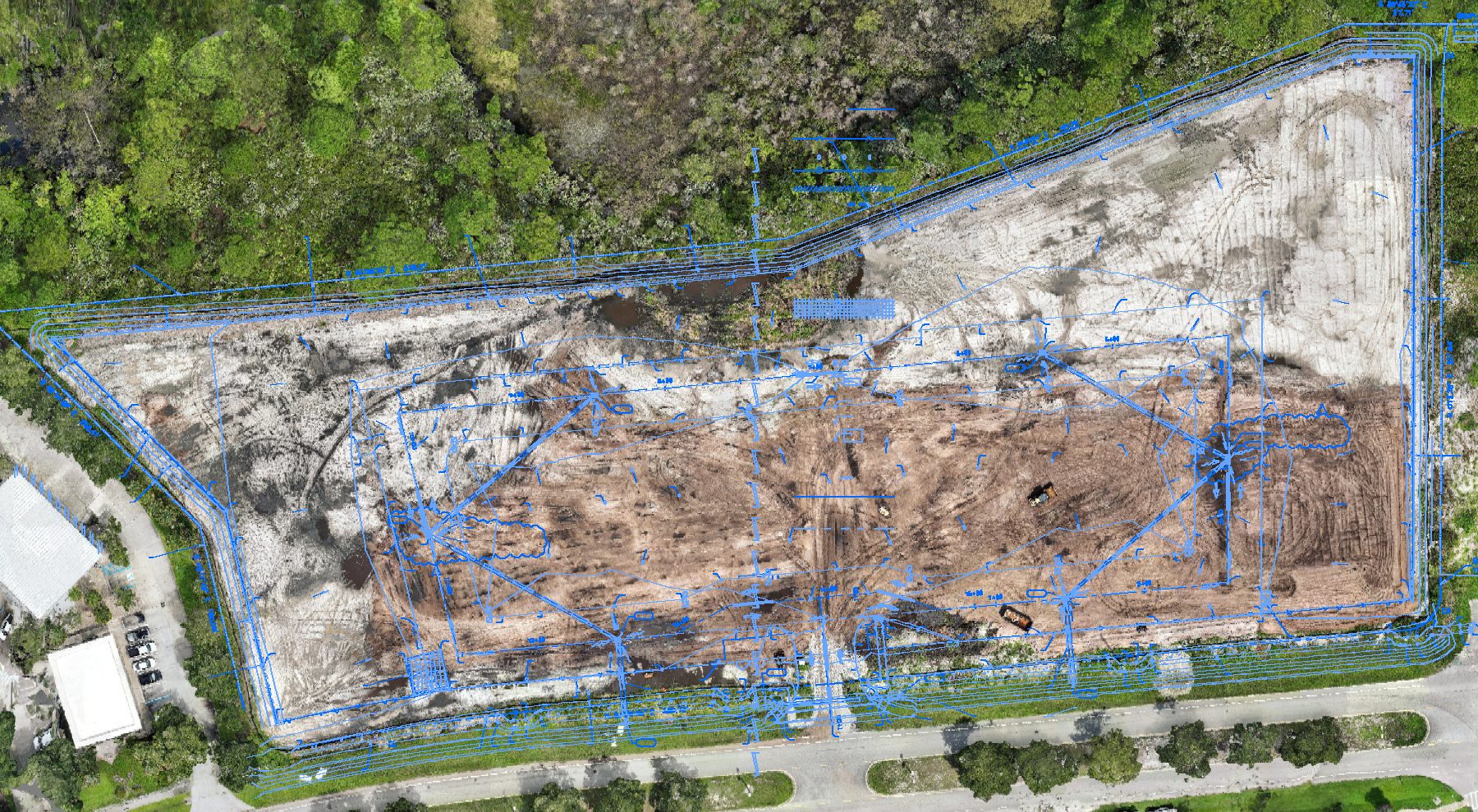
The civil design set, georeferenced and draped on current drone survey data, so the owner can see layout, grading, utilities and lighting against what is really on the ground, and how much material is still needed to reach finished grade.
The question
How far is the pad from finished grade, and how much of what is still needed is dirt versus the gravel, asphalt, base and paver sections that go on top?
What we did
We georeferenced sheets C-100 (site layout), C-200 (grading and drainage), C-300 (utilities) and E-100 (site lighting) from the PDF design set and overlaid them on the orthomosaic from each flight. The finished-grade surface was built from the plan spot grades and proposed contours, then compared with the surveyed ground.
Finished grade is the top of the paving, so the pavement and base sections from the design details were taken off by area: gravel storage stalls, asphalt drive aisles and pervious paver stalls, about 4,200 CY in all. What remains is the dirt fill still needed to bring the pad up to subgrade.
Repeat flights on one datum
Each new flight is checked against the previous one on the same survey datum before any change is reported, so differences reflect work on site, not survey drift.
What the owner received
A dated report with the overlays, the fill-to-design map, the earthwork split between dirt and pavement sections, and a link to the 3D site model, plus the same layers in the browser to switch on and off.
Client details withheld. See more work like this for this industry.
More case studies
Want this for your site?
Share a location and what you need to know. We will reply with a capture plan, the deliverables and a quote.